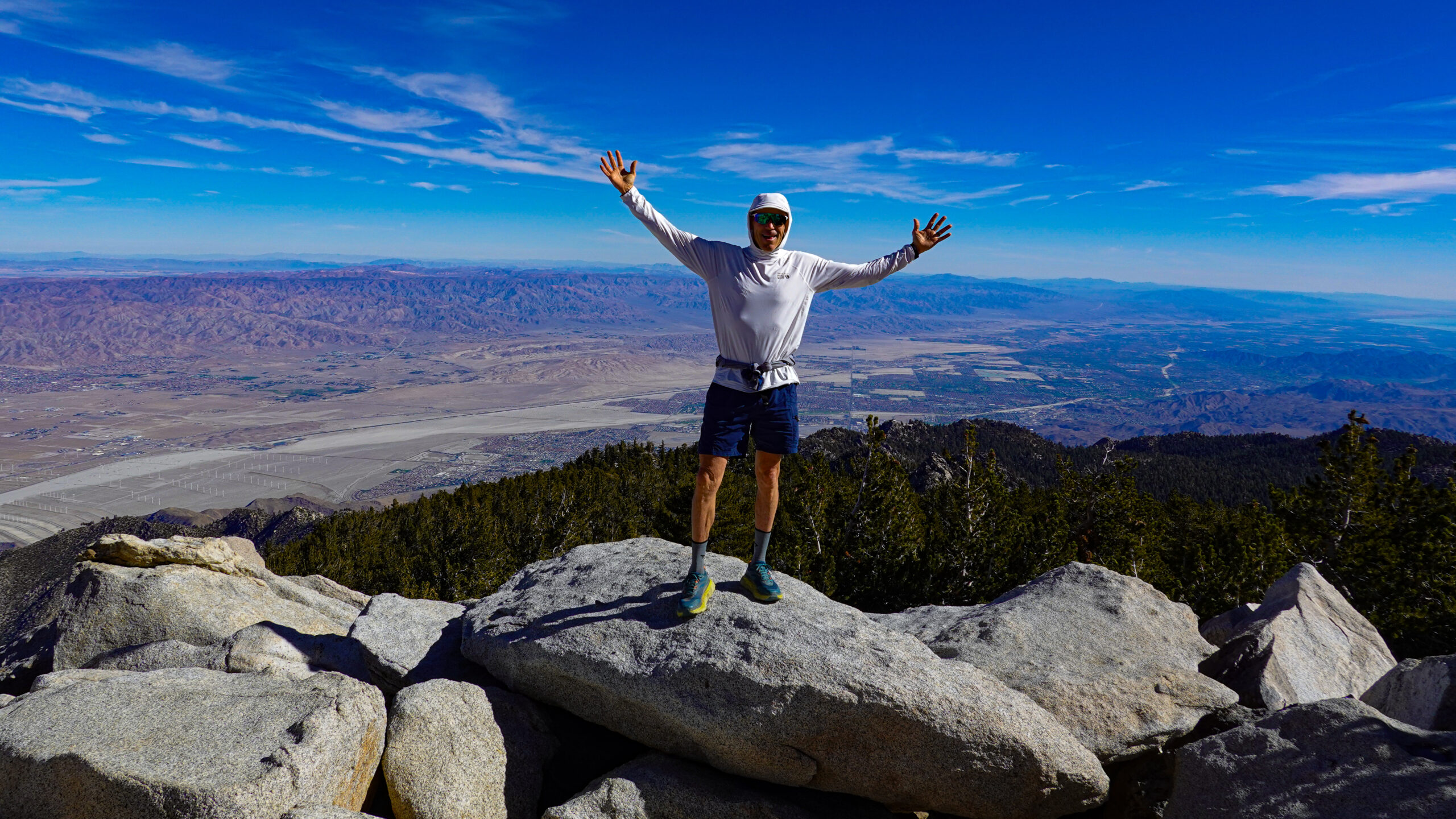
Conquering Heights: Hiking Cactus to Clouds
Learn about hiking Cactus to Clouds to the summit of Jacinto Peak. Hiking Cactus To Clouds is among the most challenging hikes in the United States, with over 10,000 feet of elevation gain. The purpose of the video below and the blog post is to educate and inform those who want to take the challenge of hiking Cactus to Clouds.
Watch the video below to learn more about hiking Cactus to Clouds to the summit of San Jacinto Peak.
Nestled in the rugged wilderness of Southern California, the Cactus to Clouds trail stands as a challenging yet exhilarating gateway to the summit of San Jacinto Peak.
This iconic hike is not for the faint of heart, but for those who crave adventure, breathtaking vistas, and a true test of endurance. In this blog post, we’ll delve into the details of the Cactus to Clouds trail, exploring its unique features, the physical demands it presents, and the awe-inspiring beauty that awaits those who reach the summit of San Jacinto Peak.
The Trailhead: Palm Springs to the Sky
The journey begins in the desert oasis of Palm Springs, where hikers set out from the desert floor and steadily ascend to the lofty heights of San Jacinto Peak. The Cactus to Clouds trailhead is strategically located at the Palm Springs Art Museum, offering a stark contrast between the desert landscape that stretches beyond to the high mountains of San Jacinto Peak.
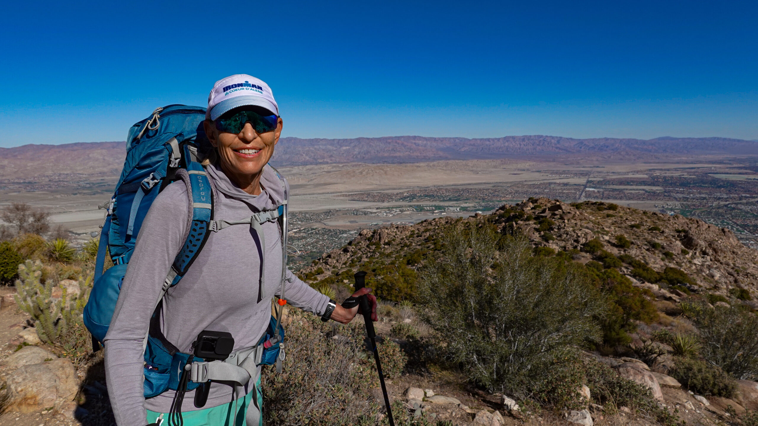
The initial phase of the trail, known as the Skyline Trail, winds through the rocky terrain of the San Jacinto Wilderness, gradually gaining elevation as hikers leave the city behind. Be prepared for a steep climb right from the start, as the trail relentlessly ascends the slopes, rewarding hikers with panoramic views of Palm Springs and the Coachella Valley below.
Elevation Gain: A Test of Endurance
One of the defining features of the Cactus to Clouds hike is its staggering elevation gain. The trail climbs approximately 10,300 feet from the trailhead to the summit of San Jacinto Peak, making it one of the most demanding day hikes in the United States. This relentless ascent challenges the physical limits of even seasoned hikers, requiring stamina, determination, and careful preparation.
As hikers progress along the trail, they traverse diverse ecosystems, starting from the arid desert floor and ascending through chaparral-covered slopes before reaching the pine-studded wilderness at higher elevations. Each step brings a change in scenery, providing a unique and rewarding hiking experience.
Cactus to Clouds: A Trail of Contrasts
The name “Cactus to Clouds” encapsulates the stark contrast between the lower and upper sections of the trail. Hikers begin their journey surrounded by the iconic desert flora, including various species of cacti and other hardy plants adapted to the harsh conditions of the lower elevations. As they ascend, the landscape transforms dramatically, giving way to alpine forests and meadows.
One of the highlights of the hike is reaching the transition point known as the “Cactus to Clouds Junction.” Here, hikers experience a symbolic shift from the desert environment to the cooler, more temperate climate of the mountainous terrain. It’s a moment that marks the progress made and signals the changing challenges that lie ahead.
The Oasis: A Welcome Rest
Amidst the grueling climb, a welcome respite awaits hikers at the famed “Oasis,” a small patch of lush vegetation fed by a natural spring. This oasis serves as a critical rest point, allowing hikers to replenish their water supply and take a moment to appreciate the contrast between the arid surroundings and the unexpected greenery.
As hikers pause to recharge, they can soak in the serenity of the Oasis, surrounded by towering rock formations and the distant vistas of the Coachella Valley below. It’s a reminder of nature’s resilience and the hidden treasures that can be found in the most unexpected places.
The Final Push: Jacob’s Ladder and the Summit
After leaving the Oasis, the trail takes a more direct and strenuous route to the summit. Jacob’s Ladder, a series of steep switchbacks, marks the final push to San Jacinto Peak. The elevation gain becomes more pronounced, and the air grows thinner, adding an extra layer of challenge to the ascent.
As hikers navigate the switchbacks, they are treated to breathtaking views of the surrounding mountains, including the rugged peaks of the San Jacinto range and, on clear days, glimpses of the distant San Gorgonio Wilderness. The anticipation builds with each step, culminating in the triumphant arrival at the summit of San Jacinto Peak.
Summit Views: A Panorama of Splendor
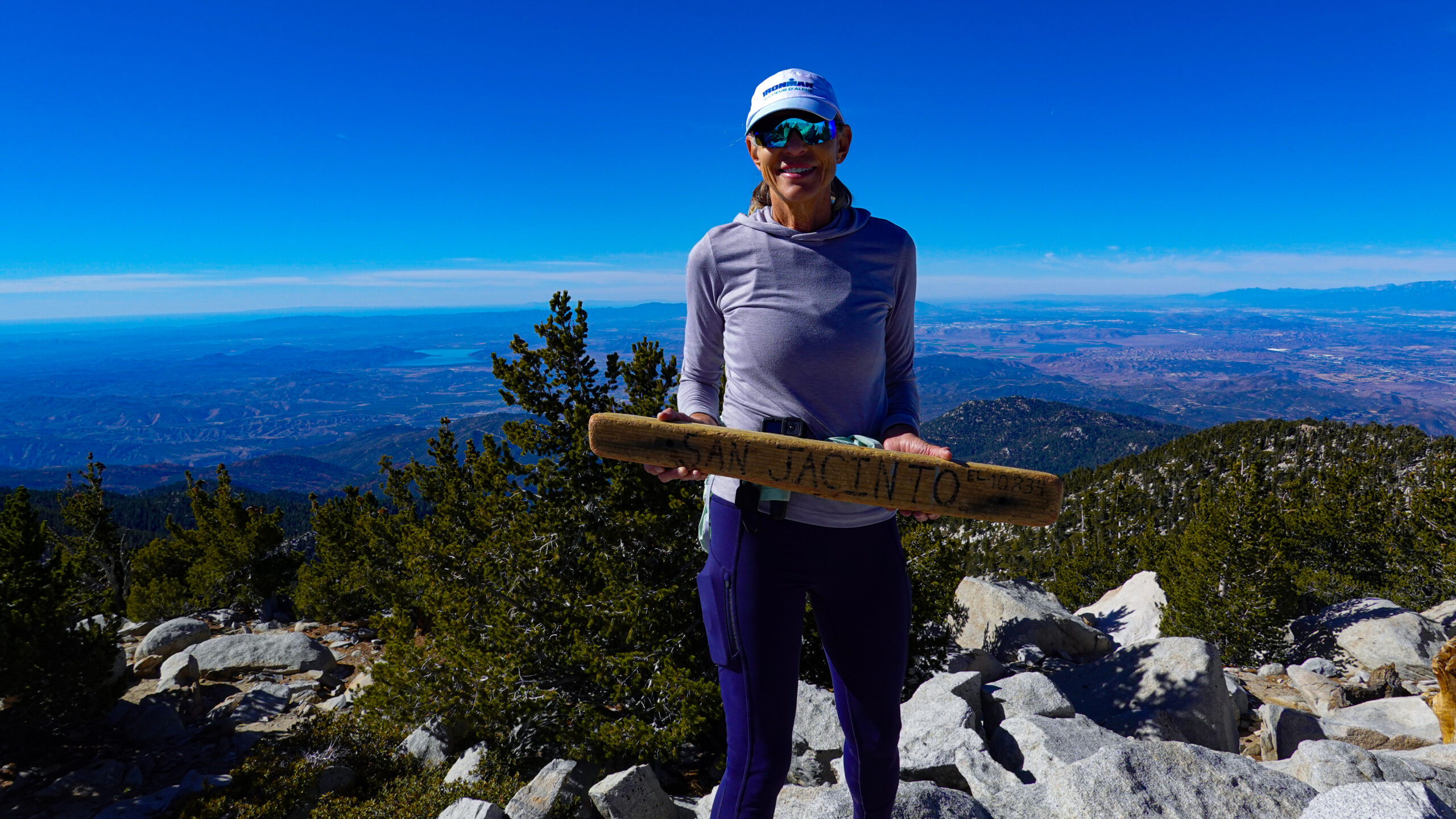
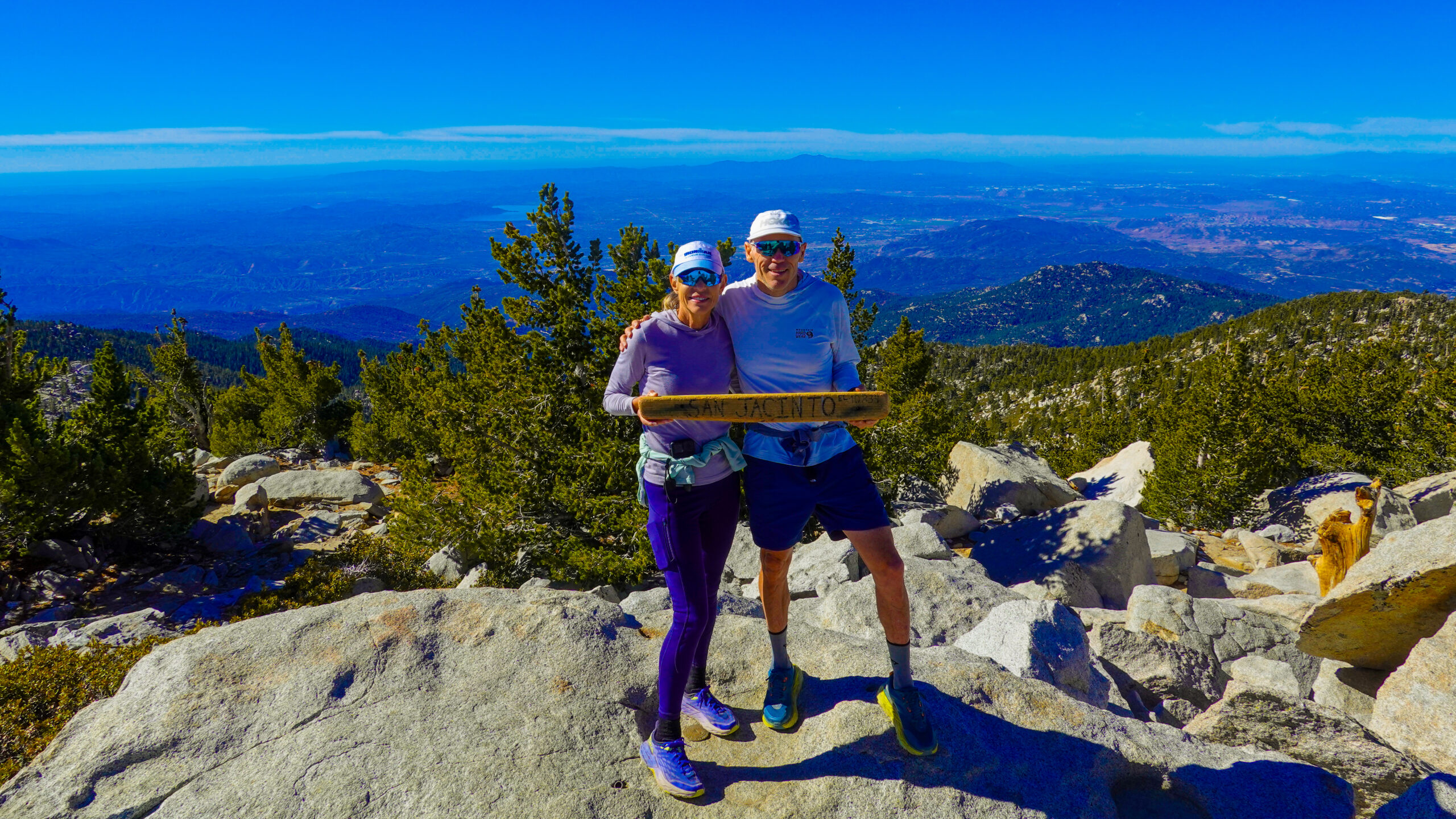
The reward for conquering the Cactus to Clouds trail is the unparalleled panorama awaiting hikers at the summit. San Jacinto Peak stands at an elevation of 10,834 feet, providing unobstructed views of Southern California’s diverse landscapes. On a clear day, hikers are treated to vistas stretching from the Salton Sea to the Pacific Ocean.
To the west, the sprawling urban expanse of the Inland Empire unfolds below, framed by the distant San Gabriel Mountains. To the east, the rugged beauty of the San Jacinto Wilderness extends as far as the eye can see. The summit offers a 360-degree canvas of natural splendor, a fitting reward for the challenges overcome during the ascent.
Soaring to New Heights: The Marvel of Palm Springs Aerial Tramway
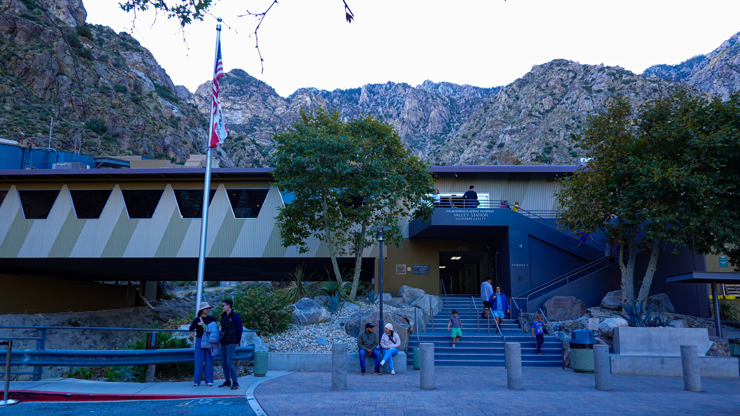
Many hikers take the Palm Springs Aerial Tramway to decent off the mountain.
Nestled amidst the stunning landscapes of Southern California, the Palm Springs Aerial Tramway stands as a testament to human engineering and a gateway to the natural wonders of the San Jacinto Mountains. Affectionately known as the “World’s Largest Rotating Tramcar,” this iconic attraction has been captivating visitors since its inauguration in September 1963.
The Palm Springs Aerial Tramway offers a unique and exhilarating journey, transporting passengers from the arid desert floor to the pristine wilderness of Mount San Jacinto. The tramway’s base station, situated at an elevation of approximately 2,643 feet (806 meters), provides a stark contrast to the mountain station’s lofty perch at 8,516 feet (2,596 meters). This remarkable ascent unfolds over a span of 2.5 miles, making it one of the most awe-inspiring vertical ascents in the world.
The tramcars, designed to rotate 360 degrees during the ascent, offer passengers an uninterrupted panoramic view of the surrounding landscape. As the journey unfolds, the desert floor gradually transforms into a lush alpine forest, showcasing the diverse ecosystems that coexist in this region. The ride itself is a visual spectacle, providing a captivating blend of natural beauty and architectural ingenuity.
Upon reaching the mountain station, visitors are greeted with a breath of fresh, crisp mountain air and temperatures significantly cooler than those in the valley below. The mountain station serves as a gateway to an array of recreational activities, from hiking and snowshoeing in the winter to exploring miles of pristine wilderness trails in the summer.
One of the highlights of a visit to the Palm Springs Aerial Tramway is the observation deck, offering unrivaled panoramic views of the Coachella Valley and beyond. The sight is particularly enchanting during sunset when the changing hues of the sky cast a warm glow on the rugged landscape below.
Beyond its recreational offerings, the tramway also plays a vital role in environmental conservation and education. The Mount San Jacinto State Park, accessible from the mountain station, provides a living laboratory for researchers and nature enthusiasts alike, showcasing the delicate balance of ecosystems thriving at high elevations.
Whether seeking adventure, a reprieve from the desert heat, or simply a moment of tranquility surrounded by nature, the Palm Springs Aerial Tramway offers an unforgettable experience. As a marvel of engineering and a gateway to the wonders of the San Jacinto Mountains, it continues to be a symbol of the harmonious coexistence between the human spirit and the awe-inspiring forces of nature.
Trailhead Map of Cactus To Clouds
Map of Hike: Cactus To Clouds
Photos of Cactus To Clouds Summiting San Jacinto
Cactus to Clouds Photo Slideshow
Conclusion: A Journey to Remember
Hiking the Cactus to Clouds trail to the summit of San Jacinto Peak is more than a physical challenge—it’s a journey of self-discovery, resilience, and connection with nature. The trail’s unique blend of desert and alpine environments, coupled with its demanding elevation gain, creates an adventure that pushes hikers to their limits and rewards them with unparalleled views and a profound sense of accomplishment.
For those who seek an unforgettable hiking experience, the Cactus to Clouds trail beckons as a formidable yet rewarding undertaking. Whether you’re a seasoned hiker looking for a new challenge or a nature enthusiast craving a connection with Southern California’s diverse landscapes, this iconic trail offers an adventure that will leave a lasting imprint on your memory. Lace up your hiking shoes, pack your essentials, and embark on a journey that will take you from the cactus-studded desert
HIKING GEAR CHECKLIST
Heading out for an ultra run or a hike takes planning and the proper clothes, equipment, and nutrition.
There is nothing worse than finding out you forget something.
Having a checklist of your essential items is very helpful in setting yourself up for success when hitting the trail.
Below is a link to our essential hiking and ultra-running gear checklist. For each hiking and ultra-running adventure, we print out and check off the items before heading out the door.


